City Video Surveillance
Connect fixed, PTZ and specialist cameras for situational awareness across public spaces and critical locations.

Connected Response. Citywide Visibility. Faster Coordination.
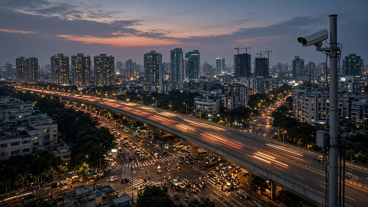
Trisim integrates video surveillance, traffic analytics, emergency communications, GIS, city networks and environmental sensors with command-centre platforms, helping authorised city teams turn field information into coordinated action across public safety, mobility and urban resilience.
What We Deliver
An end-to-end city operations ecosystem rather than a catalogue of devices: sixteen capabilities in four groups, each selected and configured where supported by the chosen systems and project scope.
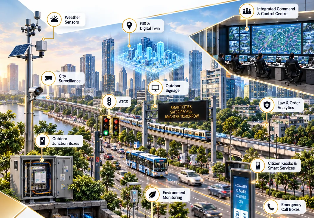
Connect fixed, PTZ and specialist cameras for situational awareness across public spaces and critical locations.
Generate alerts for configured events such as intrusion, crowd build-up or abandoned objects, for operator review.
Analyse traffic flow, congestion, queue length and supported violations using suitable cameras and edge analytics.
Process selected video analytics near the source to reduce backhaul load and support timely event detection.
Connect field devices and control locations through a fibre backbone and suitable last-mile networks.
Locate cameras, sensors, incidents, assets and response resources on a shared geographic view.
Bring compatible systems and data feeds into a common operating picture with workflows for authorised teams.
Present live video, maps, alarms and incident context to operators in a coordinated control-room environment.
Broadcast scheduled announcements or authorised emergency messages to configured public-address zones.
Provide a visible public help point with voice communication and location-aware incident handling.
Display traffic advisories, diversions, public information and approved emergency notifications.
Understand public sentiment and perception of city services and initiatives, helping city communication teams plan timely, accurate public messaging.
Use water-level, rainfall and related sensors to flag rising-water conditions at mapped drainage points.
Monitor selected weather and environmental parameters to support situational awareness and alerts.
View authorised response-vehicle locations, assign resources and track dispatch status through defined workflows.
Receive, log, prioritise and route calls or digital alerts to the appropriate response team.
From Field Intelligence To Coordinated Response
Cameras, traffic systems, emergency call boxes, weather stations and flood sensors each produce different kinds of information. An integrated city operations platform brings compatible feeds together, locates events on GIS and routes alerts to the responsible teams. With defined workflows, role-based access and clear escalation, departments can coordinate during routine operations and emergencies.
CCTV and traffic cameras, emergency call boxes, IP-PA, VMS signage, weather and flood sensors, GPS / vehicle devices
Edge LPU / GPU-capable compute for selected traffic and video analytics
City OFC backbone, network switches, approved wireless / last-mile links
VMS, analytics, GIS, ICCC platform, incident / call centre, vehicle tracking, social media perception management
Control-room operators, police, traffic, emergency services, civic teams, IP-PA and VMS messaging
Cybersecurity, identity & access management, logging and monitoring
Operational Use Cases
How connected systems support city teams in practice. Technology assists authorised people; outcomes depend on procedures, staffing and local context.
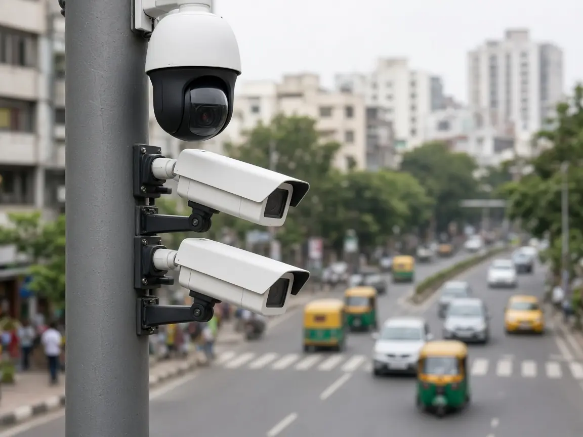
Camera feeds and supported analytics flag events for operator review. GIS adds location context; authorised teams verify the alert and follow established response procedures.
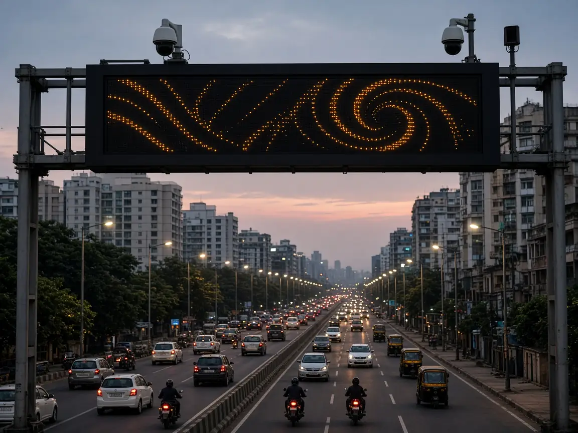
Traffic cameras and edge analytics identify congestion patterns or configured events. Operators coordinate traffic teams and publish approved messages on variable message signs.
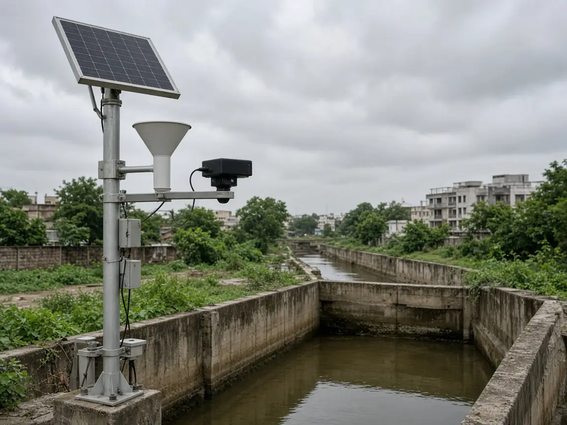
Rainfall and water-level sensors at selected drains or vulnerable points provide threshold-based alerts. GIS maps affected locations so teams can prioritise inspections, road closures or public warnings.
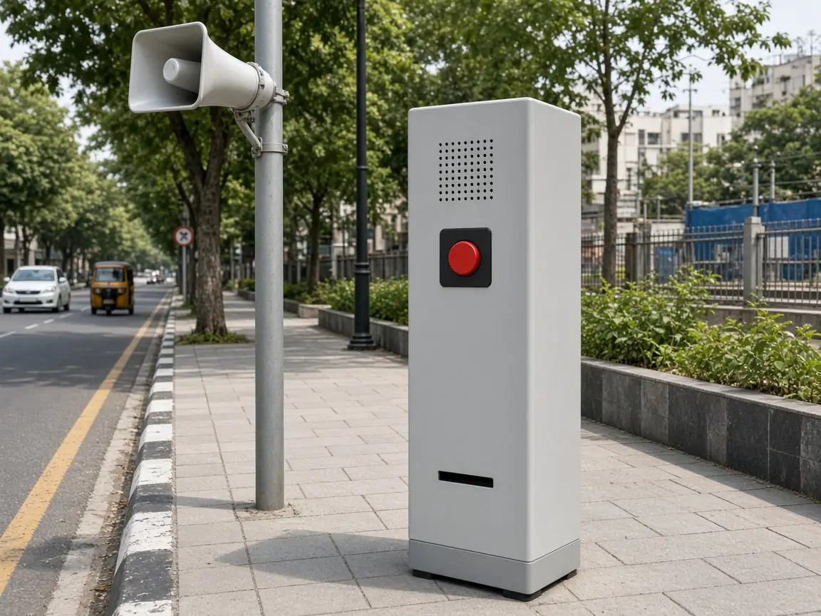
An emergency call box or helpline creates an incident record with location and caller details where available. IP-PA zones and outdoor signage deliver approved warnings, evacuation guidance or diversions, subject to network availability and authorised procedures.
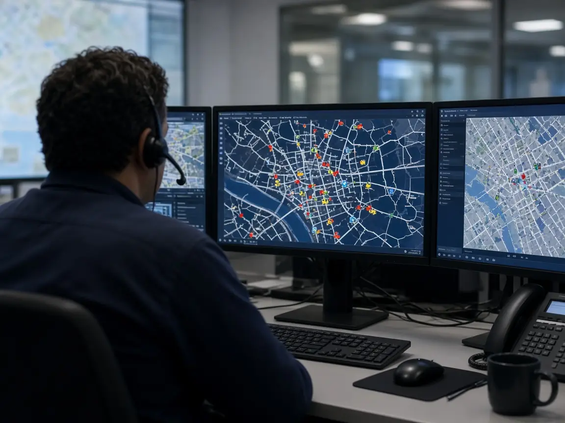
Vehicle tracking shows available response resources and their locations. Dispatchers assign units based on incident type, location, operational rules and human judgement, and track status to closure.
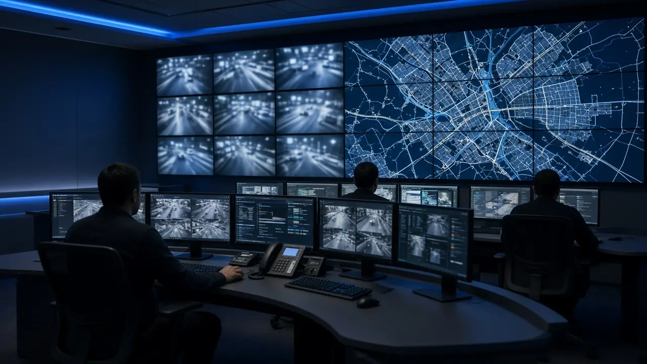
Social media perception management gives city communication teams aggregated insight into public sentiment and emerging concerns about city services. Teams verify information through trusted sources and respond with clear, approved public messaging.
Photographs are representative illustrations and do not depict specific Trisim deployments.
The Operational Heart Of A Smart City
A modern ICCC combines operator workstations, video wall displays, GIS, video management, analytics, incident workflows, communications and IT infrastructure. It gives authorised teams a shared view of events and helps coordinate response across police, traffic, emergency services and civic departments.
Trisim supports the design and integration of the relevant technology layers according to project scope, interfaces and operating procedures.
We plan control rooms around operator roles, sightlines, acoustics, lighting, ergonomics, display visibility, equipment access, maintainability and future expansion, designed in line with relevant ISO standards where applicable and validating requirements against the project brief. Our in-house BIM team coordinates room layouts and services before site execution.
Explore Control Rooms →Responsible City Operations
City technology works best with clear governance. We design workflows that keep people in control and respect applicable law and approved use cases.
Analytics alerts and social media insights are prompts for human review, not automatic decisions.
Role-based access, audit trails and data-retention rules defined with the responsible authority.
Public announcements and sign content follow pre-approved templates and SOPs, issued by designated officials.
Analytics are configured for defined use cases such as congestion, wrong-way movement or crowd build-up, and depend on camera, scene and model.
City-Scale Cybersecurity
Surveillance cameras, field devices, fibre networks, analytics servers and ICCC platforms expand a city’s digital attack surface. Security needs planning across device hardening, network segmentation, identity and access controls, secure remote access, monitoring, patching, backup and incident recovery.
Trisim integrates appropriate cybersecurity controls within the agreed solution scope, designed around the architecture and risk profile, with CERT-In’s Cyber Security Guidelines for Smart City Infrastructure available as a reference when defining project security requirements.
How We Deliver
From survey to support, one accountable team engineers, integrates and tests the system against agreed use cases and operating procedures. Installation and integration are carried out by factory-trained engineers.
Technology Ecosystem
We design and integrate solutions using technologies from global and Indian OEMs, selected to suit each project’s requirements.
 Milestone Systems
 Barco
 Panasonic
 Sparsh CCTV
 Intozi
 Motadata
 Check Point Software
 CrowdStrike
 Honeywell
 Trinity Mobility
 NIRAsys
 Scanpoint Geomatics
 Vehant Technologies
 Dell Technologies
 Fortinet
Let's Talk
City authorities, police and traffic teams, consultants and system integrators: share your requirements and our engineers will get back to you.
Discuss Your Smart City Project